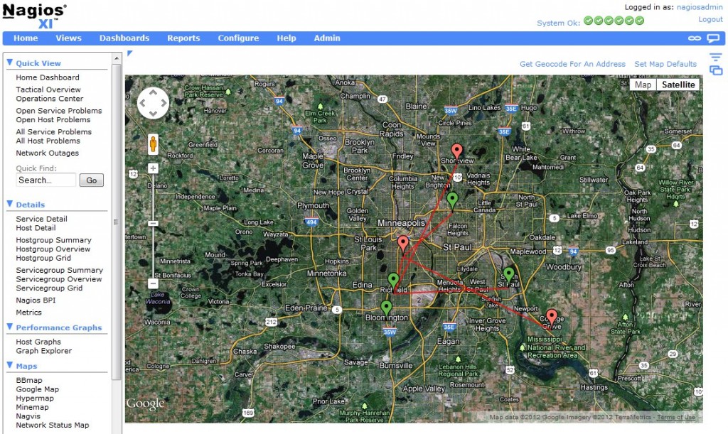
The Nagios XI Google Map Component v1.1 displays host status as an overlay on a Google Map within Nagios XI. It uses lat/long coordinates defined in the “notes” config field to identify host location. Version 1.1 now support polylines for parent->child relationships. Any parent->child relationship that has coordinates defined for both hosts will now draw a polyline displayed between the two. This can be useful for drawing a topology map on real geographic locations. Special thanks to Wesley Zhao for your work on this feature!
Download the Google Map Integration Component v1.1.
See our documentation on Google Map Integration with XI.


What about Nagios Fusion? An over all map would be nice!